
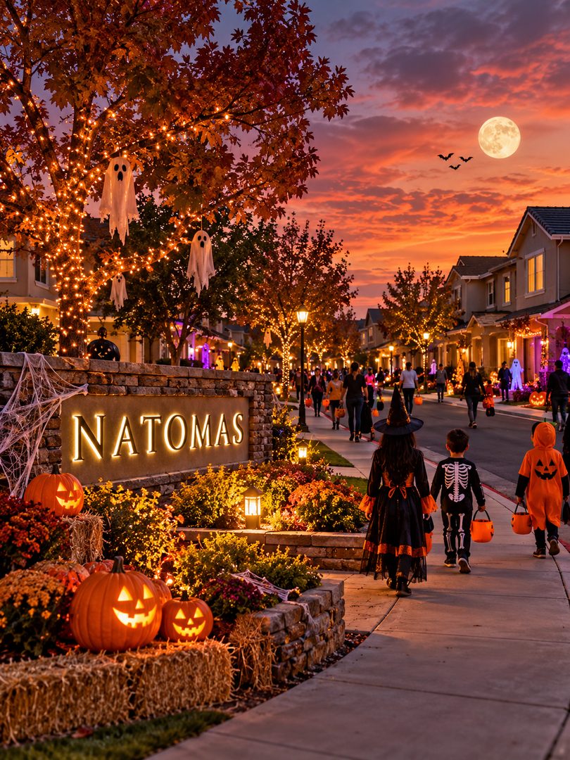
Why Rockmont Circle draws crowds from across North Natomas
Tucked east of Northgate Boulevard in North Natomas, Rockmont Circle is best known for its coordinated holiday lighting displays during December. That same collective spirit takes over on Halloween night. The circle is an expansive, enclosed loop that eliminates cut-through traffic, giving parents a rare sense of perimeter control in a region dominated by wide distributor streets like Club Center Drive and Del Paso Road.The architecture of Rockmont Circle encourages front-facing participation. Built during the early 2000s boom, these two-story single-family homes feature shallow front setbacks, broad driveways, and prominent entryway porches. In many suburban developments, residents withdraw to rear covered patios, but on Rockmont, the layout pulls residents onto the sidewalk. Homeowners set up fire pits in driveways, string elaborate lighting between rooflines, and coordinate themes across adjacent parcels.Because the loop has no through-outlets to secondary collectors, vehicle speeds drop to a crawl. Families arriving from adjacent subdivisions park along wider peripheral feeder roads and walk in. If you are comparing North Natomas tracts, a self-contained loop like Rockmont delivers community cohesion that standard grid segments with open cross-streets simply cannot match.How Sundance Lake balances park paths with dead-end street safety
Further west, the Sundance Lake development provides a completely different pedestrian network, anchored by Swanson Hawk Park and Blackbird Park. Unlike traditional subdivisions where sidewalks run parallel to vehicle lanes, Sundance Lake integrates dedicated off-street paved paths that skirt the central detention lake and weave through native landscaping.On Halloween, this trail network creates safe pedestrian funnels between residential clusters. Costumed groups can move from the dead-end courts off North Bend Drive and Blackbird Way over to the sports fields and play structures at Swanson Hawk Park without crossing a single multilane street. Local parent groups often plan routes along the park perimeter before heading deeper into the surrounding cul-de-sacs, where lighting and decorations remain heavy. You can read more about how Sacramento community celebrations take advantage of neighborhood trail design and municipal parks to host large seasonal crowds.The real estate premium in Sundance Lake directly reflects these amenities. Buyers pay higher community facility district assessments compared to older Sacramento subdivisions, but that funding maintains the walking paths, public turf, and street lighting that make evening events walkable. The trade-off is clear: you pay higher property tax add-ons through local Mello-Roos bonds, but you gain an interconnected pedestrian infrastructure that keeps foot traffic insulated from commuter traffic heading to Interstate 5.The structural trade-offs between cul-de-sacs and through streets
A standard rectangular grid allows fast vehicular routing, but it dilutes seasonal foot traffic and increases intersection risk. In contrast, deep cul-de-sac pockets concentrate foot traffic by trapping it within a low-speed enclosure. If you prioritize street-level community events, choose a home situated inside a multi-court enclave over a corner lot along a neighborhood collector every time.Why South Natomas older tracts offer a completely different Halloween walk
Cross south over Interstate 80 into South Natomas, and the landscape changes dramatically. Neighborhoods established during the 1970s and 1980s around Truxel Road and West El Camino Avenue lack the uniform aesthetic and strict homeowner association mandates found in North Natomas. In their place, these pockets offer wide, low-slung ranch homes, deep front yards, and towering mature sycamores and valley oaks.Hidden pockets off San Juan Road, including quiet loops near Northgate Park, present a traditional Halloween experience. Because these homes sit on broader lots, the physical distance between front doors is longer than in North Natomas, but the established tree canopy creates an authentic autumn ambiance that newer tracts with young saplings cannot replicate. The absence of master HOAs also means homeowners face zero architectural restrictions on how early or how elaborately they can transform their front yards.From a financial perspective, South Natomas properties carry distinct advantages over their northern counterparts:- Zero Mello-Roos CFD special taxes on older parcels, saving homeowners hundreds of dollars each month compared to North Natomas developments.
- Significantly lower base HOA dues, as most mid-century and 1980s residential blocks operate without common-area management companies.
- Larger average lot sizes that allow for substantial front-yard staging, RV parking pads, and expansive private driveways.