
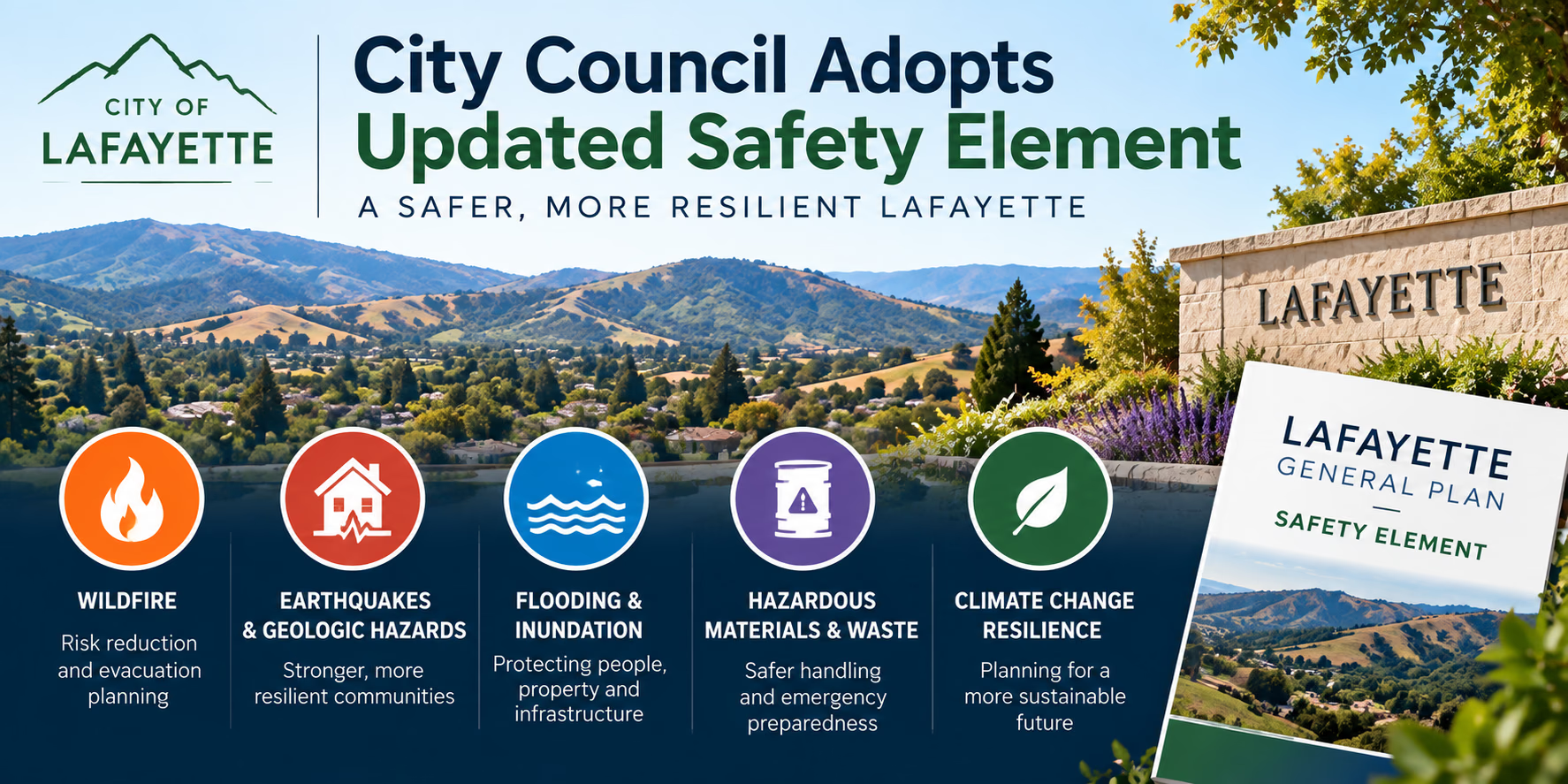
What the Safety Element Reveals About Risk
The updated Safety Element is fundamentally a high-level planning and risk-mitigation framework. It does not establish building bans or label specific neighborhoods as uninhabitable. Instead, it aggregates regional hazard data to guide future infrastructure investments, zoning adjustments, emergency management protocols, and development standards.A central component of the update is the SB 747 Evacuation Analysis, alongside detailed hazard mapping. These tools help the city evaluate physical constraints across local roadway networks. Lafayette's geography features steep hillsides, narrow roads, and dense vegetation, which create distinct emergency response challenges in specific pockets of the community. The plan highlights how seismic faults, high fire severity zones, historic flood paths, and unstable slopes intersect with local transportation corridors.What the Safety Element Does Not Tell You About an Individual Property
While the General Plan provides an exceptional macro-level overview, buyers must recognize its analytical boundaries. Municipal safety elements are designed for community-scale planning rather than parcel-level guarantees. You cannot rely solely on citywide maps to determine the structural condition or microclimate vulnerability of a specific home.- Parcel-specific defensible space compliance: The plan maps general fire zones, but it cannot tell you if a seller has maintained clearance or planted flammable shrubs against the foundation.
- Structural home hardening: The element does not detail whether a house features ember-resistant vents, multi-pane tempered glass, or fire-rated roofing materials.
- Site-specific soil stability: Regional geologic maps show broad fault zones and historic landslide areas, but only a licensed geotechnical engineer can assess foundation movement or localized retaining wall integrity.
- Property-level drainage and localized pooling: Regional flood maps focus on creeks and major floodways, not whether water pools in a specific driveway or crawls toward a subfloor crawlspace during heavy rain.
- Insurance pricing and insurability: City hazard designations do not dictate how private carriers underwrite property risk or whether a California FAIR Plan policy will be required.
How to Use the Safety Element as a Buyer
To extract real value from the safety element, use it to contextualize the neighborhood before you write a contract. Start by locating the property on the city's updated hazard overlays. Identify whether the parcel borders designated open spaces, falls within a Very High Fire Hazard Severity Zone, or sits downhill from steep, undeveloped terrain.Next, examine the SB 747 Evacuation Analysis maps to understand how emergency traffic flows out of the neighborhood during a major event. Look at the primary road connecting the home to major arteries like Highway 24 or Mt. Diablo Boulevard. If that access relies on a single winding lane, you know to investigate evacuation alternatives, secondary exits, and community warning systems early in your search process.Hazard Questions to Ask Before Making an Offer
Once you identify potential environmental factors from the municipal maps, direct targeted inquiries to the seller, listing agent, and your inspection team. Specific inquiries help uncover maintenance histories and hidden ownership costs.- Has the property received a local fire department defensible space inspection, and were any violations noted?
- What work has been done to harden the home against wildfire embers, such as vent screens or non-combustible siding?
- Has there been any history of soil creep, slope movement, or drainage failure on or directly above the parcel?
- Are there active creek beds, culverts, or private storm drains on the property, and who is legally responsible for their ongoing maintenance?
- Has the current owner experienced water intrusion in the basement, foundation crawlspace, or lower living areas during historic atmospheric river events?
- What are the current owner's annual property insurance premiums, and has their carrier issued any non-renewal notices?
Infrastructure and Emergency-Planning Questions
Neighborhood resilience depends heavily on municipal and utility infrastructure. Narrow streets, dead ends, and overhead power lines directly affect day-to-day safety and emergency response times. Incorporate infrastructure inquiries into your standard property review.- Roadway width and accessibility: Can two full-sized emergency vehicles pass each other on the access street if cars are parked along the curb?
- Secondary ingress and egress: Is there a second paved public road out of the neighborhood, or does the subdivision rely on a single exit point?
- Water supply and hydrant flow: Where is the nearest fire hydrant located relative to the property boundary, and does the area maintain adequate municipal water pressure?
- Power reliability and backup systems: Does the neighborhood experience frequent Public Safety Power Shutoff (PSPS) events during high-wind fire weather, and is the home wired for a backup generator or battery storage?
- Private road maintenance agreements: If the parcel sits on a shared private lane, is there a formal recorded road maintenance agreement governing upkeep, vegetation clearing, and paving?
Documents to Review During Due Diligence
A thorough contract review requires cross-referencing city-level planning documents against official disclosure packets and specialist reports. Ensure your advisory team reviews each of these critical records during the statutory inspection contingency window.- Natural Hazard Disclosure (NHD) Statement: Review state and local statutory hazard zones, including seismic hazard zones, wildland fire areas, and 100-year flood boundaries.
- California Fire Hardening and Defensible Space Disclosures (Forms FHDS and WFDA): Verify seller disclosures regarding ember-resistant features and documentation of required defensible space compliance.
- Geotechnical and structural inspection reports: Review existing engineering reports that evaluate foundation performance, soil stability, and retaining wall conditions.
- Preliminary title report: Inspect easements, rights-of-way, and maintenance agreements that may dictate utility access or emergency road responsibilities.
- Insurance quotes and binder options: Obtain formal insurance quotes from standard carriers and the California FAIR Plan during your contingency window to verify coverage feasibility and total monthly cost.
A Practical Safety Element Buyer Checklist
Use this step-by-step checklist to organize your real estate evaluation in Lafayette, balancing city planning data with direct property verification:- Step 1: Check the Safety Element hazard maps for baseline wildfire, seismic, and flood classifications.
- Step 2: Inspect neighborhood street networks and evacuation corridors outlined in the SB 747 analysis.
- Step 3: Review the seller's Natural Hazard Disclosure report against city planning findings to confirm zone matches.
- Step 4: Request comprehensive records of recent tree trimming, brush clearance, and exterior roof or vent upgrades.
- Step 5: Schedule specialized inspections (geotechnical, drainage, sewer lateral, roof) when regional maps flag localized hazards.
- Step 6: Contact insurance brokers early to evaluate comprehensive coverage options, deductibles, and other policy requirements.
- Step 7: Confirm private road maintenance agreements, shared utility easements, and neighborhood emergency protocols before removing contingencies.