
Why October high water marks near Pier 14 change the waterfront equation
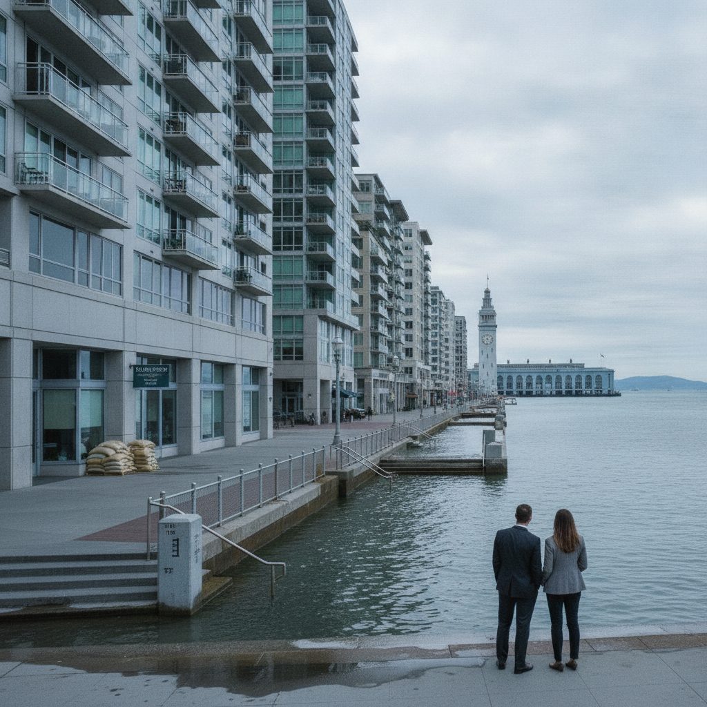
A November 9 report detailed how unusually high tides spilled across sections of the Embarcadero sidewalk and bicycle lanes near Pier 14 on October 25. The flooding occurred without an accompanying atmospheric river or severe wind event. Water simply pushed up from San Francisco Bay, overtopped the promenade, and forced city agencies to close pedestrian lanes on an otherwise clear morning. The underlying metric was even more concerning: San Francisco sea level measurements during October reached 12.4 inches above NOAA predictions, setting the largest monthly variance on record for the station.These anomalies stem from broad Pacific dynamics interacting with local topography. Deep ocean Kelvin waves linked to El Niño patterns push warm surface water eastward toward the California coast, creating a steric rise in local sea height. When that thermal expansion aligns with autumn king tides, baseline sea levels elevate substantially before winter storms even enter the Golden Gate. For buildings situated between Mission Street and Harrison Street, this baseline compression erodes the buffer between daily high tide and finished floor elevations.Which Embarcadero corridors carry the highest physical exposure
The Port of San Francisco has mapped coastal vulnerabilities along the three-mile Embarcadero spine, identifying distinct geographic pockets where land height drops closest to the mean high water mark. The primary exposure zone centers on the Ferry Building plaza and stretches south past Pier 14 toward the Rincon Park bow-and-arrow sculpture. Additional low points line Fisherman's Wharf near Pier 39, the promenade edges at Marina Green, Crissy Field in the Presidio, and the mouth of Islais Creek bordering Dogpatch.These low elevations contrast sharply with neighboring parcels located just two blocks inland. If you evaluate a mid-rise condominium on Steuart Street, the property may sit on fill placed after the 1849 Gold Rush, placing its grade level barely a few feet above extreme king tides. Walk two blocks west up Rincon Hill or Telegraph Hill, and elevation climbs rapidly past 80 feet above sea level. Elevation differences inside the same zip code mean that two properties separated by 500 yards occupy entirely different risk categories. Buyers cannot rely on neighborhood-wide flood assumptions when parcel-level grade differences dictate building safety.What to inspect in subterranean garages and electrical vaults along Steuart and Folsom
When waterfront properties experience flooding, water does not always come over the seawall curb. Instead, hydrostatic pressure drives saltwater backward through storm drains or upward through subterranean foundation joints. In developments along Steuart, Folsom, and Beale Streets, parking garages and utility rooms sit well below the street surface. If rising tides submerge gravity-fed storm outfalls along the piers, water backs up into lower garage levels before street gutters register an inch of accumulation.Saltwater intrusion damages residential infrastructure far faster than freshwater leaks. When brackish Bay water touches electrical switchgear, elevator hydraulic pistons, or standby generators housed in building basements, the repair costs escalate into hundreds of thousands of dollars. Condominium associations must replace corroded conduit and recalibrate building transformers rather than simply drying out drywall. If a building relies on sump pumps to expel subterranean drainage, the failure of a single check valve during a king tide can swamp backup electrical systems.How the Port of San Francisco seawall program affects private parcel assessments
The structural defense of the Embarcadero rests upon a century-old rock and timber seawall that requires billions of dollars in structural and seismic upgrades. While San Francisco voters approved a $425 million general obligation bond under Proposition A in 2018 to jumpstart the Waterfront Resilience Program, total stabilization costs across the Embarcadero exceed $5 billion. City and port leaders continue evaluating regional grant programs, state climate funds, and municipal financing tools to fund ongoing seawall reconstruction between Fisherman's Wharf and Mission Creek.For property owners, municipal infrastructure bonds can influence annual property tax obligations when voters approve general obligation debt or special assessment mechanisms. Under California property tax law, general obligation bonds approved by voters are typically repaid through ad valorem tax overrides added to the base one percent tax rate on the county property tax bill. If city leaders and the Port establish specialized assessment districts or Mello-Roos Community Facilities Districts to finance localized sea gates, shoreline berms, or raised promenades, affected commercial and residential parcels within the designated boundary could face separate annual parcel levies.Because specific financing structures, boundary lines, and parcel exemptions require formal legislative action and public approval, buyers and owners should consult with a qualified tax professional or municipal finance specialist to verify existing assessments and evaluate prospective property tax liabilities on specific parcels. Factoring potential infrastructure overhead into your holding cost calculation is just as necessary as analyzing baseline property taxes and city transfer tax brackets.Due diligence checkpoints every San Francisco waterfront buyer should complete
Purchasing along the Embarcadero requires reviewing technical documents that buyers in Noe Valley or Pacific Heights never need to inspect. Before waiving property inspection contingencies or releasing deposit funds on waterfront holdings, demand specific documentation regarding water control systems, historical intrusion records, and association funding levels.- Request the past five years of homeowner association meeting minutes, focusing specifically on discussions of garage pump maintenance, foundation waterproofing repairs, and storm line backflow preventer installations.
- Verify whether the building mechanicals, electrical panels, and emergency generators sit at street grade or in sub-grade basement levels, noting whether automated flood barrier gates protect underground garage ramps.
- Examine the California Natural Hazard Disclosure report to verify whether the parcel touches the FEMA 100-year flood plain or the San Francisco coastal inundation study boundaries.
- Review the association reserve study to ensure funds are allocated for commercial-grade pump replacements, seawall defense engineering, and waterproofing membrane recoatings.
- Inspect the property tax bill for current Port-related special bond assessments and inquire with the Port of San Francisco regarding planned capital works fronting the specific parcel.